Mt. Wilson: 14 Miles, 4700 Feet of Elevation Gain = Fun!
Yesterday Penelope and I hiked to the top of Mt. Wilson. It was a tough hike, but well worth the views, plus it's always nice to get a good 6 hour workout!
We started our hike from the trailhead on Mt. Wilson Trail road at roughly 9:30 a.m. The first two miles of the trail was highly trafficked with dozens of day hikers. This part of the trail is also barren thanks to a recent fire and in the morning the sun really beats down on you.
After a mile and a half we passed a fork down to the First Water swimming hole. Once past First Water we hardly saw any other hikers.
3.5 miles into the trip we reached Orchard Camp. This was the halfway point so we stopped and had some snacks and hydrated. We met two mountain bikers at Orchard Camp, they were the only folks on bikes we saw during out hike.
After snacking we headed up to the Winter Creek trail intersection. The last half mile before the intersection was the hardest part of the hike. The trail was narrow and exposed at times and there was little tree cover to shade us.
Once at Winter Creek trail we were excited to only have another 1.7 miles to go and we headed up the half mile and 500 feet of elevation gain of switchbacks to the old Mt. Wilson Toll Road. We followed the old road a half mile and then we took the small trail the final .7 mile up to the peak.
I always let Penelope lead because I tend to walk to fast and tire myself out and she's great at pacing us. For the last leg of the hike she was doing double time and we made it up to the peak quickly.
Once at the top I saw the parking lot and the tourists that drove up and said, "Wait you can drive up here?" Of course I knew there was a road up, but it was still funny at the time. Once at the peak we sat at a picnic bench and ate our lunches before heading down.
Going down the mountain is obviously faster than going up. What took us over three and a half ours to go up took us just over 2 hours to come down. We arrived at the trailhead seven hours after we started out, which includes roughly an hour for our snack and lunch breaks.
So the final stats: 6 hours of hiking time, 14 miles and 4,700 feet of elevation gain. It was a fun hike, although not as visually stimulating as Mt. Baldy. I'm not sure if this will be a repeat hike, but we definitely plan to drive up and do the observatory tour at some point.
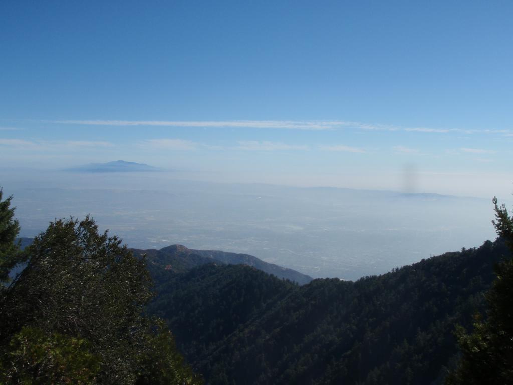
San Gorgonio rises above the smog in the distance in this photo taken from the peak of Mt. Wilson on Sunday.
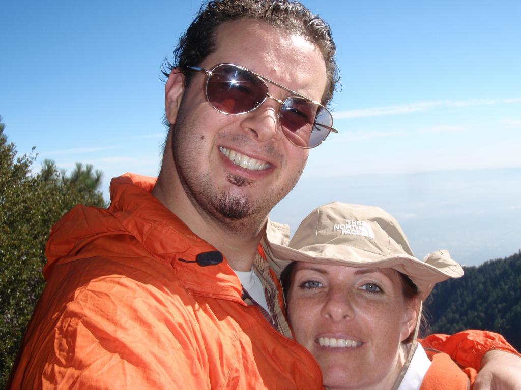
Dave and Penelope stand happily atop Mt. Wilson after hiking to the top in just over 3 hours on Sunday.
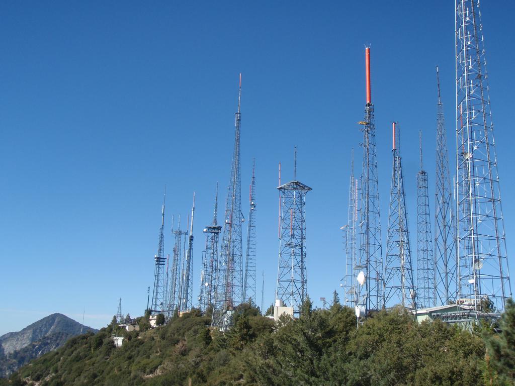
A wide array of antennas cover a hill close to the peak of Mt. Wilson.